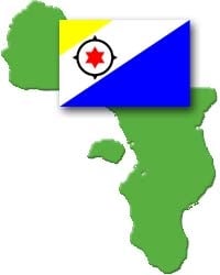
A team of scientists, engineers, and technical divers have been mapping the coral reefs around the Caribbean island of Bonaire using Autonomous Underwater Vehicles (AUVs). Support for one of the AUV mission teams has been provided by Tom Hiller and James Baxter of GeoAcoustics, running a compact GeoSwath wide swath bathymetric sonar mounted on an AUV.
The Bonaire mission has been funded by the US National Oceanic and Atmospheric Administration (NOAA). The Bonaire mission aims to use novel technology to enhance knowledge of the coral reef environment, and to motivate people to take action to sustain the reefs. The work in Bonaire has an especially high profile in 2008, which is the International Year of the Reef.
The Bonaire expedition is being led by Mark Patterson of the Virginia Institute of Marine Science (VIMS), along with co-Principal Investigators Arthur Trembanis (University of Delaware), Jim Leichter and Dale Stokes (Scripps Institution of Oceanography). Dr. Trembanis has recently placed an order for a GeoSwath-equipped Gavia for Coastal Sediments, Hydrodynamics, and Engineering Laboratory (CSHEL) at the University of Delaware.
At the time of writing the Gavia and GeoSwath have already proven their usefulness in Bonaire, with multiple missions completed from various beaches and jetties around the island. Data has been collected from shoreline missions and down to the 200m depth contour.