DPS 432 integrates signals from GPS, GLONASS, BeiDou and Galileo, and regional correction signals including SBAS (e.g. WAAS, EGNOS, MSAS, GAGAN), in addition to the new G4 services from Fugro, to ensure high flexibility for DP operations globally. Because DPS 432 exploits available combinations of GNSS signals, it is ideally suited to complex operations in challenging environments. The system increases satellite availability, improves integrity monitoring and enables more precision under challenging signal tracking conditions.
The new DPS 432 will be a part of the well-established KONGSBERG DPS range of solutions, a portfolio of products that meets all requirements for operations in any geographical region.
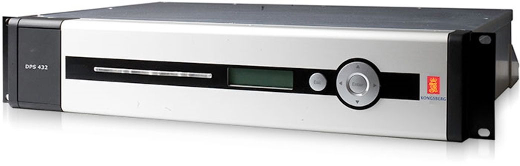
"DPS 432 expands our established and field-proven portfolio of position reference systems for DP operations, ensuring that we can offer a highly reliable solution for any DP vessel or operating region," said Vidar Bjørkedal, VP Sales & Customer Support, Kongsberg Seatex. "The system is based on the same architecture as other DPS products, which means it features a highly intuitive HMI, while the ability to integrate all available GNSS and corrections provides integrity and availability of the position data needed for safe operations."
The DPS 432 features the sophisticated DPS NAV Engine® used in all DPS solutions, which runs critical computations independent from the DPS HMI (operator interface) to ensure continuous and reliable operation. The DPS NAV Engine® runs in a safe mode, protected from unintended user operations, while several DPS HMIs can be connected to the same DPS NAV Engine® in a networked architecture.
Straightforward operation to enhance DP operations safety further, was a key design goal during development of DPS 432. The system can integrate multiple layers of information, giving the DP operator unmatched opportunities for a customised visual presentation, including i.e., electronic chart, seabed maps, well head positions, static targets and AIS target information.