100 years of surveying the oceans
Surveying the oceans requires international collaboration, and 21 June marks the 100th birthday of an important organisation in this perspective: The International Hydrographic Organization. Our Bjørn Jalving joined the digital celebration.
Hydrography can be said to the basis for all activities involving the sea. We need to know the oceans to be able to navigate safely and live from it in a sustainable way.
Someone understood this early, and in 1921 the International Hydrographic Organization (IHO) was founded. It is an intergovernmental organization that works to ensure all the world's seas, oceans and navigable waters are surveyed and charted. IHO issues survey best practices, provides guidelines to maximize the use of hydrographic survey data and develops hydrographic capabilities in its 94 member states.
The big hairy goal of IHO has been to map the entire ocean floor, and after 100 years, 21 percent is done. It’s not going very fast, Bjørn?
"Well, we should first acknowledge that IHO has been a huge success. Loss of life and shipwreck has haunted maritime activity for most of its existence. IHO standardized charting and pioneered international collaboration for a global map. Most coastal and shallow waters are now mapped for safe navigation. Accurate charting, accurate navigation at sea and robust vessels to match the conditions are technological achievements enabled by science and today provided by KONGSBERG and other players in the maritime industry.
You correctly point out that only about 20 percent of the ocean seabed is mapped to accuracies provided by modern multibeam echo sounders. What remains are largely deeper waters. During the last five years the speed has picked up, keeping in mind that it takes both diplomacy and new technology to map all areas of the seabed."
The celebrations for the 100th anniversary of the creation of the International Hydrographic Bureau on 21 June 1921 included speeches from distinguished guests and a webinar on the future of hydrography and the implications for the work of the IHO, and you were part of a panel discussion. How did it go?
"It’s always interesting to hear the views from main ocean stake holders, and for KM it’s important to use the opportunity to share our views on what’s possible. I used the opportunity today to share knowledge about what we can do today, and that the technology is here to solve future challenges."
You talked about how we in the future will move from surveying the oceans to monitoring them.
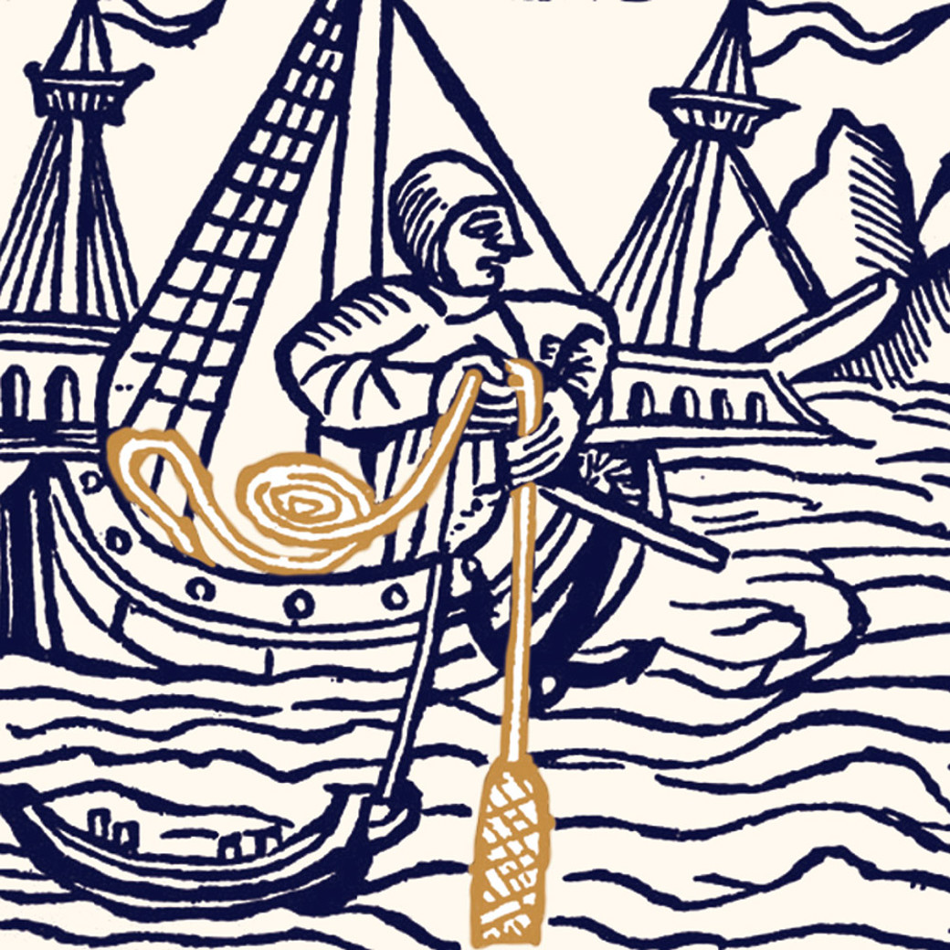
"Yes, ocean monitoring is key to preserving the marine environment and thereby supporting the green transition. Sustainable management builds on knowledge and is a pre-requisite for further development of industries like ocean renewables, aqua culture, fisheries, maritime transport and ocean sciences. The digital transformation is a key enabler. We will gather more data, more often, even continuously, and we will see a larger degree of automatic data processing and uploading to cloud based data centres. When the IHO was founded, the seabed was measured using ropes with lead weights.
Today KONGSBERG acoustic multibeam echo sounders can measure the deepest oceans of the world, and our synthetic aperture sonars image the seabed with around one inch resolution. We are a key provider of sensor systems for multidiscipline research vessels mapping geophysics, oceanography and ocean biomass simultaneously. Moving forward, crowd sourcing and rapidly increasing use of autonomous underwater vehicles and unmanned surface vehicles will make continuous ocean and coastal monitoring a reality."
So, our role in IHO is to help nations and organisations to realise the potential of what we can learn, and how fast we can learn it with the help of today’s tech?
"Yes, exactly. And also to stay updated about what the international community are aiming for when it comes to hydrography."