No longer sold
We still provide all relevant information about the product below

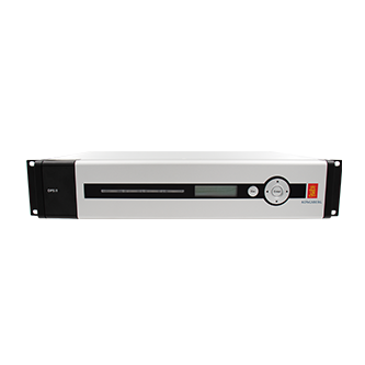
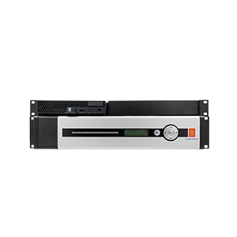
DPS 5D
Position sensor
DPS 5D offers a hybrid GNSS-based position, attitude and heading system optimized for dynamically positioned (DP) vessels. This all-in-one solution caters to the extremes of precision and reliability, ensuring accurate positioning along with GNSS-based heading. It's the superior choice for installations that demand the utmost from their navigational systems.
Designed to be Trusted
Sensors Teaming Up
Active Decision Support
Key features
- Combined GPS L1/L2/L5, GLONASS L1/L2, Beidou B1/B2, Galileo E1/E5and SBAS receivers
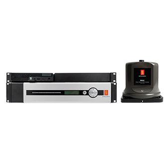
- Multi-receiver solution with IMU integration
- Dual frequency ionospheric compensation
- Supports multiple high precision correction sources
- Simultaneous integration of multiple correction signals (highprecision services, standard RTCM corrections, SBAS and IALA)
- GNSS based heading
- High precision lever arm compensation
- Extended interfacing capabilities (DP, gyro, AIS, ROV)
- Easy-to-use HMI tailored to safety critical DP operations
- Automatic data recording with replay functionality
- Skyplot with satellite prediction and shadow sectors
- Target monitoring and Speed view
- Electronic chart/seabed maps with Electronic Bearing Line(EBL)
Product range
We offer comprehensive after-sales assistance
-
24/7 Technical support
Our Technical Support team is readily available to provide global 24/7 support and can rapidly respond to resolve any issues at any time, wherever your vessel is located in the world.
-
Training
We can provide detailed training on the use of our products to ensure your crew is equipped with the necessary operational competence to minimise technical risk and maximise return on your asset investment.


