Supporting the University of Barcelona advance shallow-water mapping
A recent demonstration in Barcelona showed how portable multibeam technology can support both high-resolution coastal research and hands-on teaching in marine geosciences.
A stronger platform for coastal research and teaching
For the University of Barcelona, strengthening shallow-water mapping is about more than collecting better data. It is also about giving researchers and students access to tools that are accurate, practical, and ready to use in real field conditions. During a recent visit on 1–2 June, KONGSBERG demonstrated the portable EM2042 system and showed how it can support both advanced coastal surveys and hands-on training in marine geosciences.
With strong expertise in marine geosciences, seafloor mapping, and ocean processes, the University of Barcelona is engaged in both research and higher education that depend on reliable bathymetric data. That makes shallow and coastal environments especially important, not only as areas of scientific interest, but also as settings where students can develop practical survey skills. Research led by David Amblàs, a marine geoscientist at the University of Barcelona, reflects the institution’s focus on high-resolution seafloor mapping and marine geosciences.
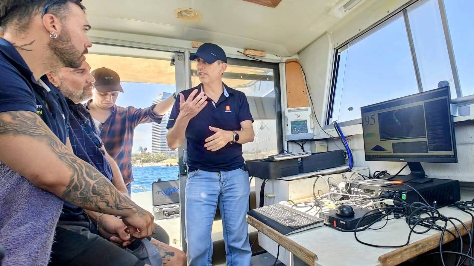
Product Manager Jose Cordero explaining the EM2042 features.
David Amblàs and postdoctoral researcher Laura Moscat Martínez lifting the EM2042 transducers out of the water.
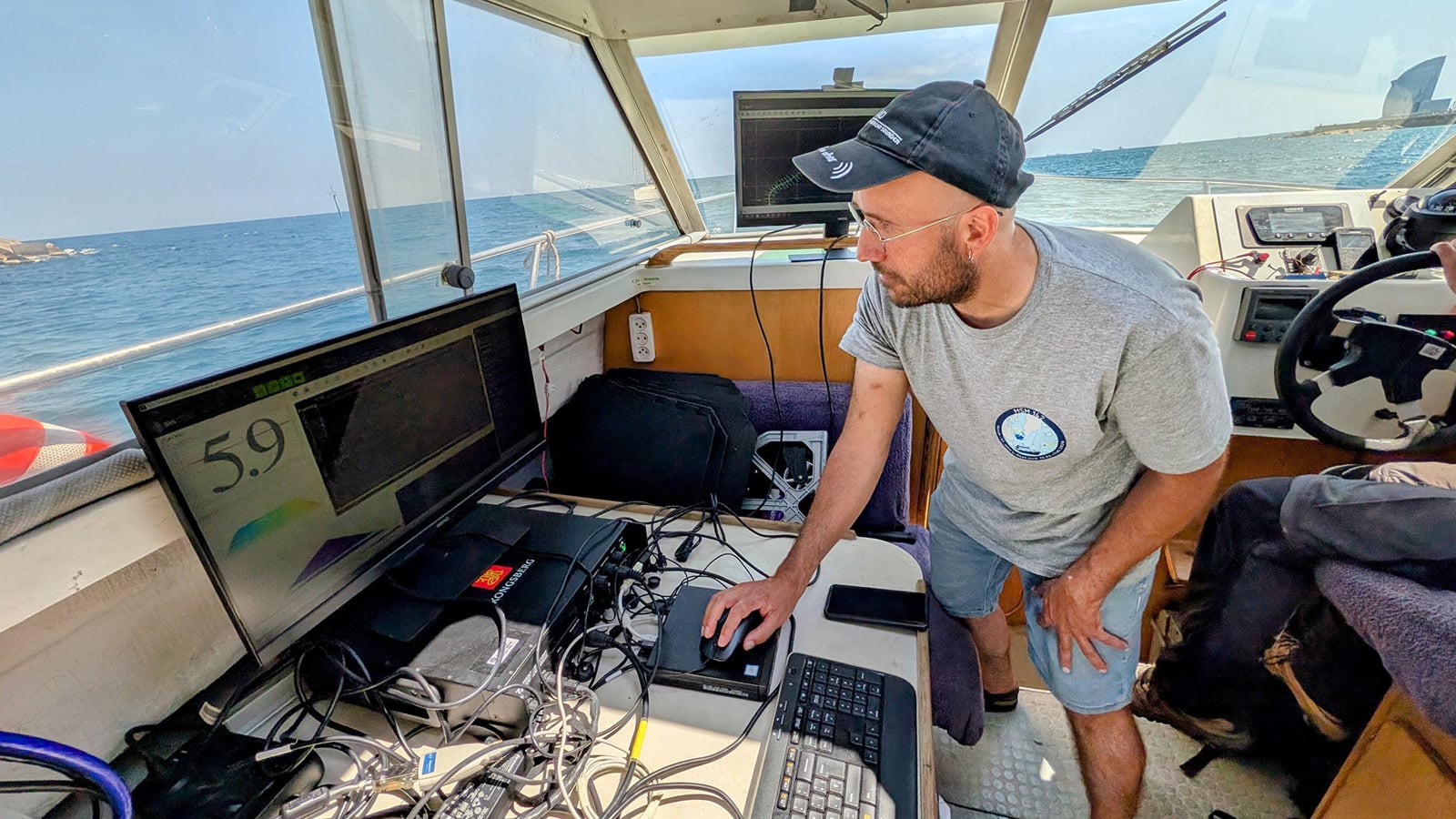
Amazing week onboard Caribdis, the UB small boat equipped with the new EM2042 multibeam echosounder. It was great to have the KONGSBERG team with us – professional, approachable, and highly supportive throughout the visit. This upgrade strengthens marine science teaching at the University of Barcelona and supports new research in high-precision marine cartography.
David Amblàs, University of Barcelona
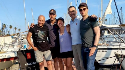
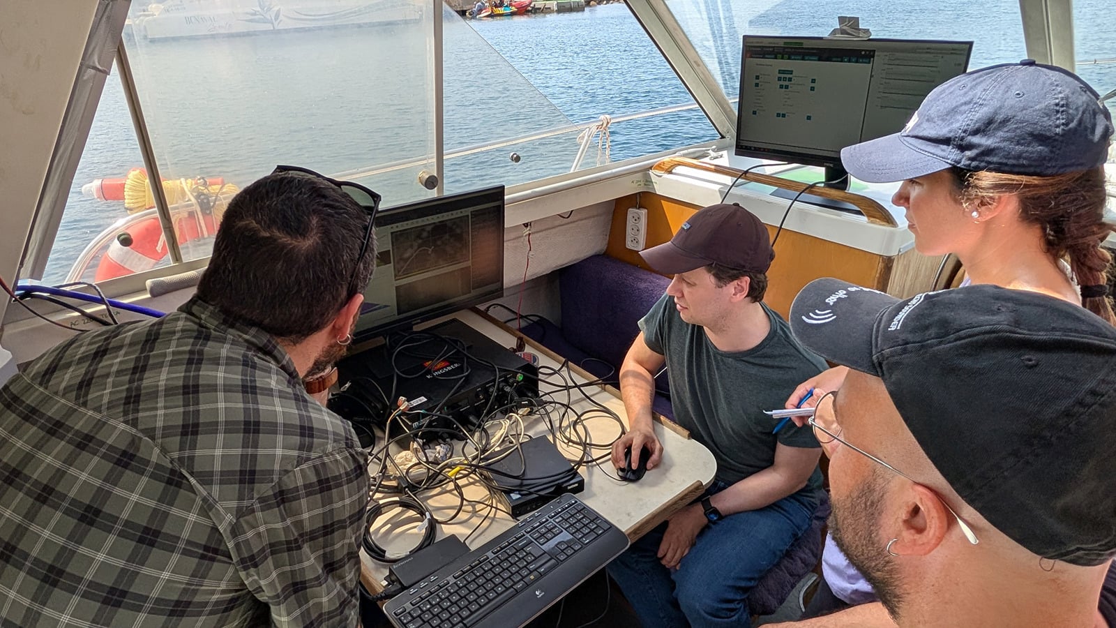
David Amblàs and Laura Moscat Martínez (University of Barcelona), Florian Schäfer, Mikael Isak Nilsen, and Jose Cordero (KONGSBERG).

