
EM2042 BNS
Multibeam mapping sonar
High‑resolution multibeam mapping sonar for naval applications
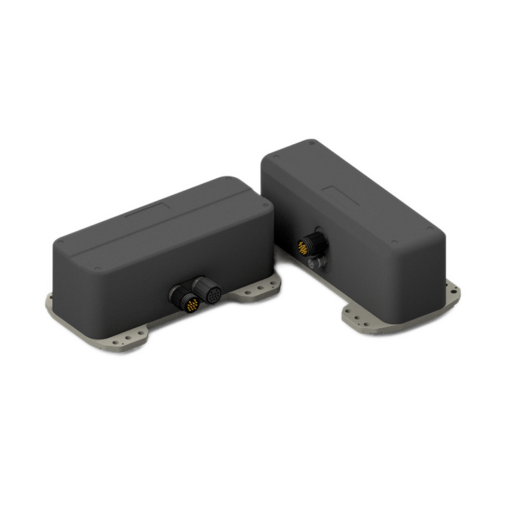
The EM2042 Bottom Navigation System (BNS) is a flexible, wideband multibeam mapping sonar optimized for naval missions across the underwater battlespace. Designed for applications such as Critical Undersea Infrastructure Protection, Rapid Environmental Assessment, Mine Warfare, and operations with submarines and uncrewed platforms, EM2042 BNS delivers accurate bathymetry and backscatter data to support navigation, detection, and situational awareness. Built with reinforced titanium housings and subsea‑qualified electronics, the system is engineered for reliability in demanding operational environments.
Designed for naval operations
EM2042 BNS is purpose‑built for military use, combining robustness with high‑resolution performance. Its wideband multibeam capability supports detailed seabed and water‑column mapping, enabling naval forces to operate with confidence in complex and contested underwater environments. Reinforced construction ensures dependable operation in harsh conditions and high‑load scenarios.
Precision navigation and awareness
By co‑registering high‑resolution bathymetry and backscatter, EM2042 BNS supports Terrain Referenced Navigation, seabed classification, and change detection. Advanced features such as dynamic beam steering, motion compensation, nearfield focusing, and pulse compression ensure accurate data even on fast‑moving or unstable platforms. Real‑time processing and data fusion enhance detection, classification, and overall underwater situational awareness.
Flexible integration for any mission
With a 150–700 kHz frequency range and operation down to 600 m depth, EM2042 BNS adapts to a wide variety of naval tasks—from extended‑range navigation to high‑resolution inspection and object detection. Dual Swath and QuadSwath™ (Single RX) increase sounding density for faster, more detailed surveys. The modular design supports installation on surface vessels, submarines, and uncrewed platforms, with secure integration into WECDIS, naval consoles, and third‑party hydrographic software.
Key features
- High resolution multi-frequency bathymetry and seabed backscatter
- Reinforced transducers to withstand harsh conditions
- Depth rated to 600 m
- Pitch, Roll and Multitransmitter, Yaw stabilization
- Dual Swath for an enhanced sounding density (Single RX)
- Water column backscatter logging
- Seamless integration with WECDIS and custom solutions to enhanced situational awareness
- Data format compatible with 3rd party software providers (EIVA, CARIS, HYPACK, PDS, QPS, Beamworx and others)
Product range


How can we help?
If you are experiencing any issues or have technical questions regarding your equipment, please don't hesitate to reach out. Our dedicated hydrographic support team is here to assist you with any challenges you may encounter.
We offer comprehensive after-sales assistance
-
24/7 Technical support
Our Technical Support team is readily available to provide global 24/7 support and can respond to resolve any issues at any time, wherever you are located in the world.
-
Training
We can provide detailed training on the use of our products to ensure your crew is equipped with the necessary operational competence to minimise technical risk and maximise return on your asset investment.