Discoveries - where innovation meets integration
Our Discoveries-section is where innovation and integration converge. Here, we present the products and applications in harmony, highlighting their synergy in enhancing your daily experiences and operations.
Delve into these innovations and discover how they can seamlessly integrate into your applications and operations.
Select category
Pre-Survey
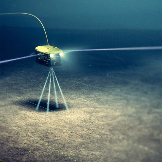
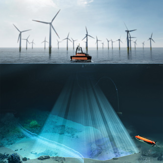
With more than 50 years’ experience in oil and gas, KONGSBERG is a pioneer in subsea survey and monitoring. This experience underpins our disruptive technologies for pre-survey, inspection, and maintenance of offshore wind farms.
Construction
Operation & Maintenance
Decomissioning
At the end of the wind farm life cycle, turbines, foundation and cables needs to be removed and the environment brought back to its initial state. Our products and services support that work in providing high quality survey sensors, software for handling and processing the data and also sensors for positioning (absolute and relative) vessels and other platforms during operations.
Underwater navigation
Layering up your resilience To get assurance on your position you need multiple inputs to your navigation system. Inertial Motion Sensor unit Doppler velocity log unit Relative acoustic positioning Dead reckoning When navigating underwater the navigational aids get fewer. At times you may end up only reliying on your Inertial Motion Unit (IMU) for your position. For underwater navigation you need IMUs with a accuracy that is much higher than what you need above the surface. A limitation of IMUs is that — if they don't have any input from other sensors — a small error in calculated position will accumulate exponentially.
Offshore & renewables
What happens if your GNSS signals are interfered with or lost?
Satellite surveillance
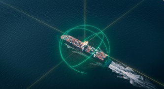
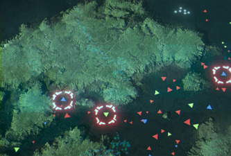
With operational areas of interest as large as oceans, it pays to have a high-level view of assets, activity and an ever fluid risk picture. Satellites help tackle the challenges of conducting surveillance at scale, monitoring and analysing marine activity on a local, national and international level to enable informed, fast and optimal decision making. From seeing the ‘big picture’ to diving into the details of individual vessel activity, satellites provide a platform for the identification and prediction of potential risk, enabling opportunity for timely action to safeguard critical infrastructure.
Underwater structures
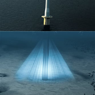
The ocean is challenging for engineers. Increased water pressure and harsh conditions degrade structures underwater. Yet, these structures are difficult to access, inspect, and assess. Ports and harbours, dams, inland waterways, locks and canals, bridges, and offshore structures all require periodic and unscheduled inspection. Image: PS-Survey
Monitoring of bottom changes
Rivers and tides can create shallow areas or cause siltation and scour. These changes can occur slowly, or extremely rapidly. The speed of water flow can vary dramatically from low tide to high tide. Drought and heavy rainfall can also play a role. Scour can cause sudden catastrophic failure of bridge piers, which is why several federal regulations focus on the importance of inspecting scour-critical bridge piers regularly. Scour can also pose a risk to port infrastructure. Commercial vessels are larger, and their propulsion systems are more powerful. Propellers and thrusters undercut bulkheads and scour deck piles. In doing so, they deposit the material elsewhere in navigation channels. Civil engineers must monitor for scour and take corrective action to protect ports.
Showing 9 of 16