Cover photo: Steinar Engeland / Unsplash
With data analytics we aim to aid the human decision-making process through an expression developed in the defence sector called OODA: observing, orienting, deciding and acting. By combining analytics with real-time data, we can help human operators orient and understand the situation as it is.
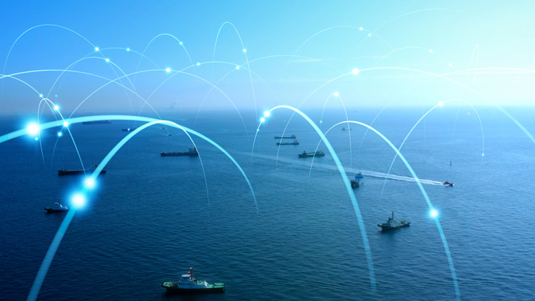
The amount of data collected by a typical Vessel Traffic Service (VTS), a systems ensuring safe navigation and efficient operations in maritime domain, is too much for a human operator to comprehend alone. Overwhelmed with data, a human operator will focus on specific areas, making sample tests and trusting their gut feeling. Automated data analytics can use advanced algorithms to find connections in the same way as humans, but automated analytics has the added advantage of being able to test all data - while the human operator can only test a sample. Once data has been processed by advanced analytics, the human operator need only focus on situations with a high likeliness of being important.
PROJECT BEAN
Kongsberg Norcontrol’s efforts in analytics began by examining how to improve vessel traffic safety along the Norwegian coast. From this use case, the research and development project project BEAN (Behavior Analysis) was formed in collaboration with the Norwegian Coastal Administration (NCA) and the Norwegian Defence Research Establishment (FFI).
With BEAN, we are studying what is normal ship behaviour using statistics together with advanced analytics to find anomalies. What has been found through this project is that ships usually show anomalous behaviour before accidents occur. For example, a ship might manoeuvre oddly or change speed somewhere out of the ordinary. This behaviour can indicate something being wrong that might lead to a collision or a grounding if actions are not taken. With this knowledge, we developed the BEAN system, which will alert the VTS operator to anomalous behaviour. The VTS operator can then choose how to respond to the alert. Weather data will be incorporated in future BEAN iterations.
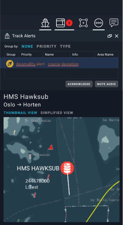
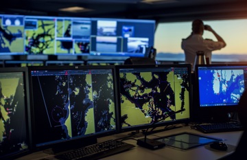
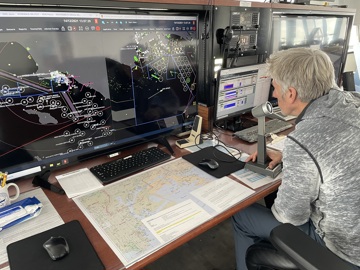
This system is now operational and used by the Norwegian Coastal Administration as an extension of their Decision Support module within Kongsberg Norcontrol’s maritime domain awareness solution C-Scope.
SATELLITES
Kongsberg Norcontrol is currently working on expanding our analytics capabilities to include satellite-based data sources. Satellite sensors are unique as they allow us to observe ocean areas beyond the reach of land-based sensors.
As our first user-case, we are using analytics combined with satellite sensors to detect situations such as illegal fishing. By comparing satellite sensor data with fishing reports, we can discover if any vessels have travelled to areas they are not supposed to and report inaccurate information about the journey.
Looking into the future, illegal fishing is one of many potential uses for the analytics- and satellite sensor data, in combination with the improvement of maritime domain awareness. Satellites can capture a global traffic picture in a short amount of time, allowing us to analyse and understand the larger picture to a degree that has never been possible.
The potential for increasing global maritime security is remarkable, and we are only starting to understand the benefits satellite-based information sources will bring to the table.